Do you need to hire a professional landscape firm?

One of the most important decisions to be made for a home landscaping project is whether to hire a landscape architect, landscape designer or landscape contractor.
Tips For Spring Lawn Care That Will Keep It Green All Summer Long

First the bad news: if you neglect spring lawn care tasks, you could end up paying for it the rest of the year.
This Year’s Garden and Landscaping Trends May Give You More Time and Cost Less

This Year’s Garden and Landscaping Trends May Give You More Time and Cost Less
Top 10 Yard And Garden Design Trends For 2014
Top 10 Yard And Garden Design Trends For 2014 In a study just released by the American Society of Landscape Architects (ASLA).
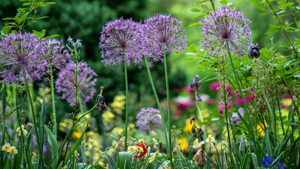
Boost Your Garden this Year!

Boost Your Garden this Year! Want to do something new this year with your garden but not sure – here are some ideas.
Remodeling
Remodeling When needing to get a new look but not wanting to break the bank, remodeling can go a long way in giving you that feeling.
“White Gold”

“White Gold” While doing a little research on flowers for Easter and spring I came upon this interesting article on Easter lilies.
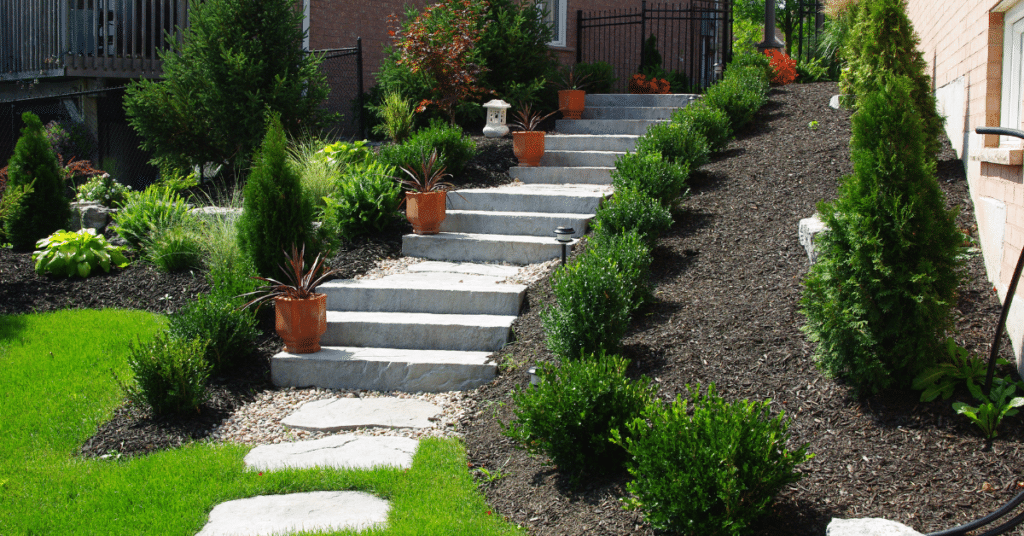
Drainage Problems?

Drainage Problems? I run into this quite a bit and the solutions range from minor to major.
Patio Options

Patio Options Now that you know you want a patio, you need to decide upon the look and feel you want to have.
Types of Patio Flooring
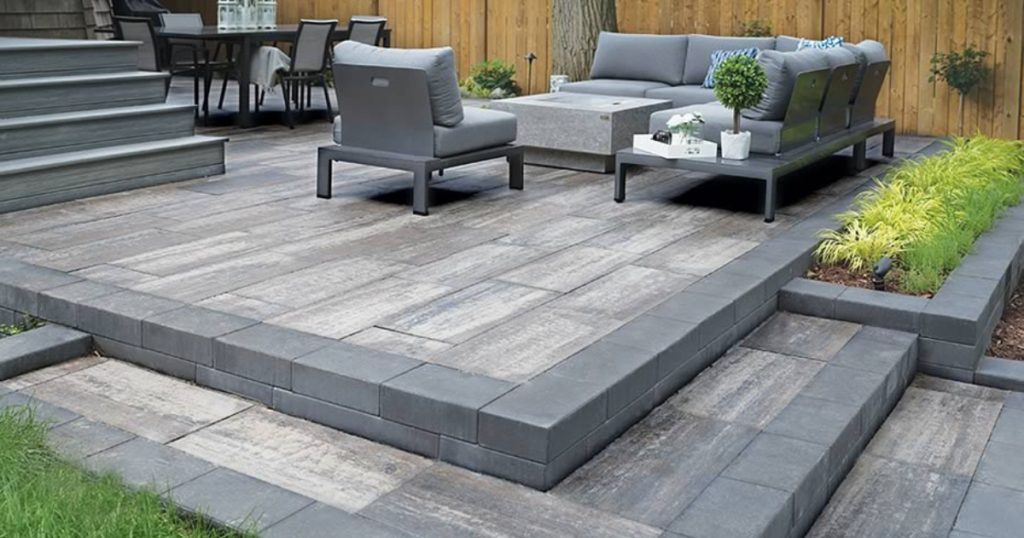
Types of Patio Flooring To continue on with our exploring of what goes into a patio, the first and the most important is the foundation.